How to read a fire on the map
Press any fire on the full map to read what the satellite measured.
- Date
- When the satellite passed over, in UTC (Zulu). Not when the fire started.
- Intensity
- How hard that pixel is burning, from fire radiative power in megawatts, shown as one of four steps from Minimal to High. A big fire shows up as many dots, not one strong one.
- Confidence
- How sure the sensor is that it saw fire and not a hot roof or a glint off water. Low, nominal or high.
- Coordinates
- The center of a pixel about 375 m across. The fire is somewhere inside it.
Plan around a wildfire on your own map
A fire map answers where. The plan is yours to draw. Lay a grid over the fire so everyone reads the same reference, ring distances from a staging point, mark the route out, then print it or send the link.
Not every dot is a wildfire
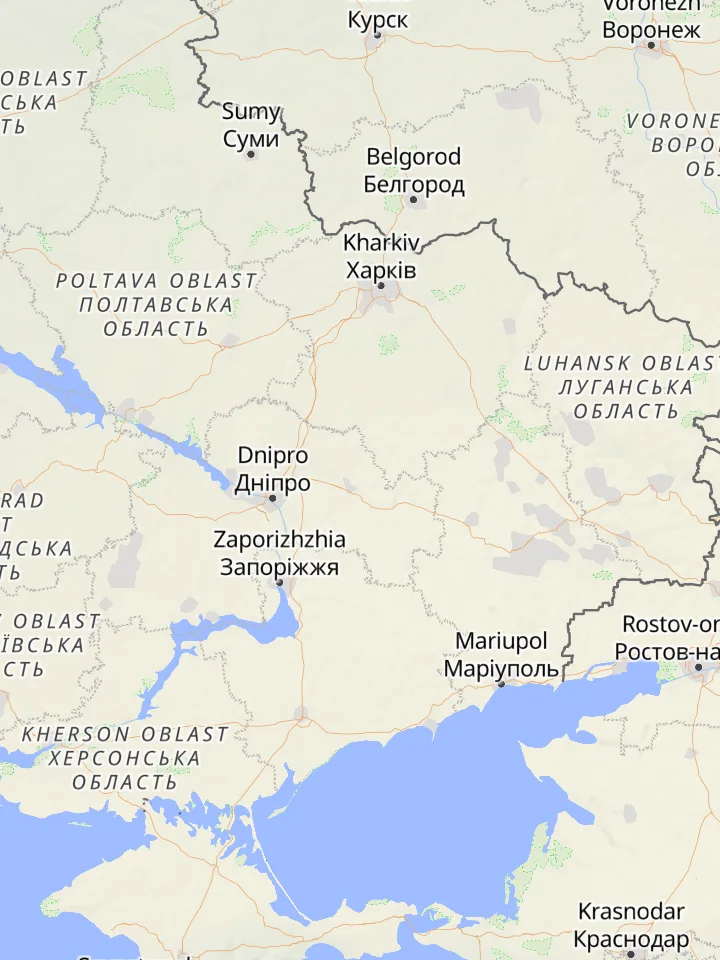
The satellite sees heat, not cause. A burning hillside, a farmer clearing stubble, a gas flare over an oil field and a fuel depot hit in a war all show up on the map as the same kind of dot.
Where the NASA fire map data comes from
The fires are from NASA FIRMS, read off the VIIRS sensor on three satellites: Suomi NPP, NOAA-20 and NOAA-21. Each one passes over most places twice a day, so a spot gets about six looks every 24 hours at 375 m a pixel. NASA publishes a detection within about three hours of the pass.
Cloud and thick smoke hide fires from the sensor, and a small fire that starts and dies between two passes is never seen at all.
Source: NASA
Frequently asked questions
How live is this wildfire map?
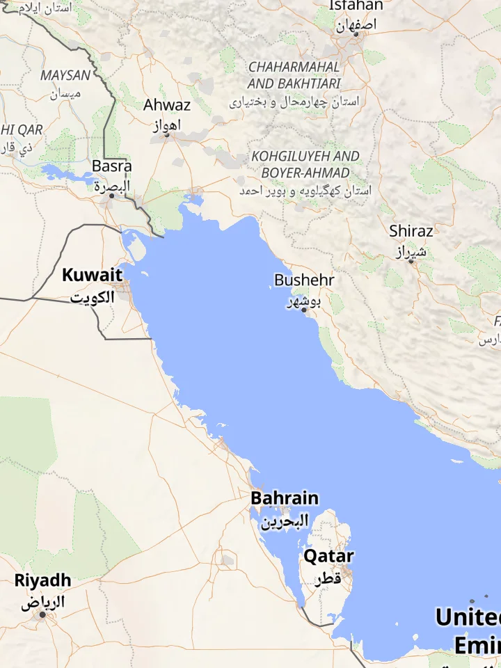
The three maps on this page are read from NASA every 30 minutes. NASA publishes a fire within about three hours of the satellite pass, and each of the three satellites passes twice a day.
What do the colors on the fire map mean?
Color and size follow fire radiative power. Yellow is under 1.5 MW, orange is 1.5 to 5 MW, red is 5 to 25 MW, and the largest dark red dots are 25 MW and up.
Can I see fires near me?
Yes. Open the full map, turn on Active Fires and go to your area. It takes a quick sign-in.
Is there a California fire map?
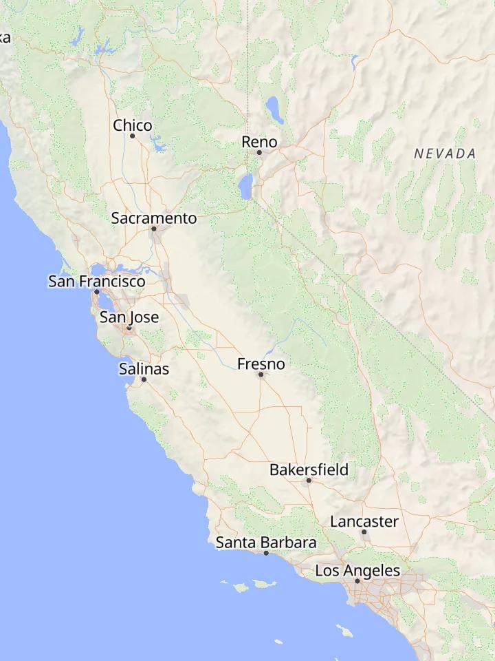
Yes. The California frame on this page shows the state's active fire detections from the last 48 hours. For a closer look, open the full map, turn on Active Fires and go to any county or canyon.
Does it show fire perimeters?
No. Each dot is one satellite detection, and a large fire shows as a cluster of dots.
Why is there a fire where nothing is burning?
The sensor reports heat. Gas flares, steel mills, volcanoes and sun glint off a roof can all show up as a fire. A dot that sits in the same place every night is usually a flare or an industrial site.
Is the wildfire map free?
The three maps on this page are open to everyone. Active Fires on the full map needs a sign-in. Personal and non-commercial use is free; commercial use needs a paid license.
Related: Measure distance on a map, Latitude and longitude finder, Map symbols, Divide a search area into sectors