What Is the Maidenhead Grid and How to Read It
July 9, 2026
The Maidenhead Locator System packs a location into a short code like JN58td. You read it in pairs, longitude first then latitude, coarse to fine: the field, then the square, then the subsquare. Each pair names a smaller rectangle inside the one before it. It is the grid amateur radio operators use to swap positions in a few characters.
Maidenhead trades precision for brevity. A full latitude and longitude is an exact point; a locator is a rectangle you can say out loud without losing a digit. That is exactly what you want over a noisy radio link, which is why hams, satellite operators, and contesters have used it for decades.
The anatomy of a locator
A locator is written in pairs, and each pair alternates between the two axes. Take Munich at JN58td:
One locator, three pairs: field, square, subsquare. Each pair is longitude then latitude.
How the grid subdivides
The system starts by slicing the whole planet into fields: 18 columns of longitude 20 degrees wide and 18 rows of latitude 10 degrees tall, lettered A to R. Longitude is measured from the 180th meridian and latitude from the South Pole, so the letters always run positive.
Each field is then divided into a 10 by 10 grid of squares (2 degrees of longitude by 1 degree of latitude), numbered 0 to 9 on each axis. Finally each square splits into a 24 by 24 grid of subsquares (5 arcminutes by 2.5 arcminutes), lettered a to x.
Because every level nests cleanly inside the one above it, you can stop at any pair. Two characters give a rough region, four narrow it to a country-sized square, and six put you in a town-sized subsquare.
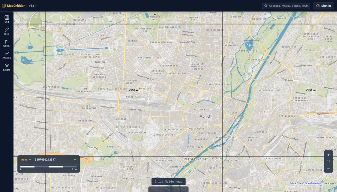
Reading a locator on a map
To read one, work outside in. Find the field first, then the square inside it, then the subsquare. Remember the order within each pair is longitude first, latitude second, the opposite of how latitude and longitude are usually spoken.
The easiest way to build intuition is to see the cells drawn on a real map. Turn on the Maidenhead grid, pan to somewhere you know, and watch the locators label each cell as you zoom from fields down to subsquares.
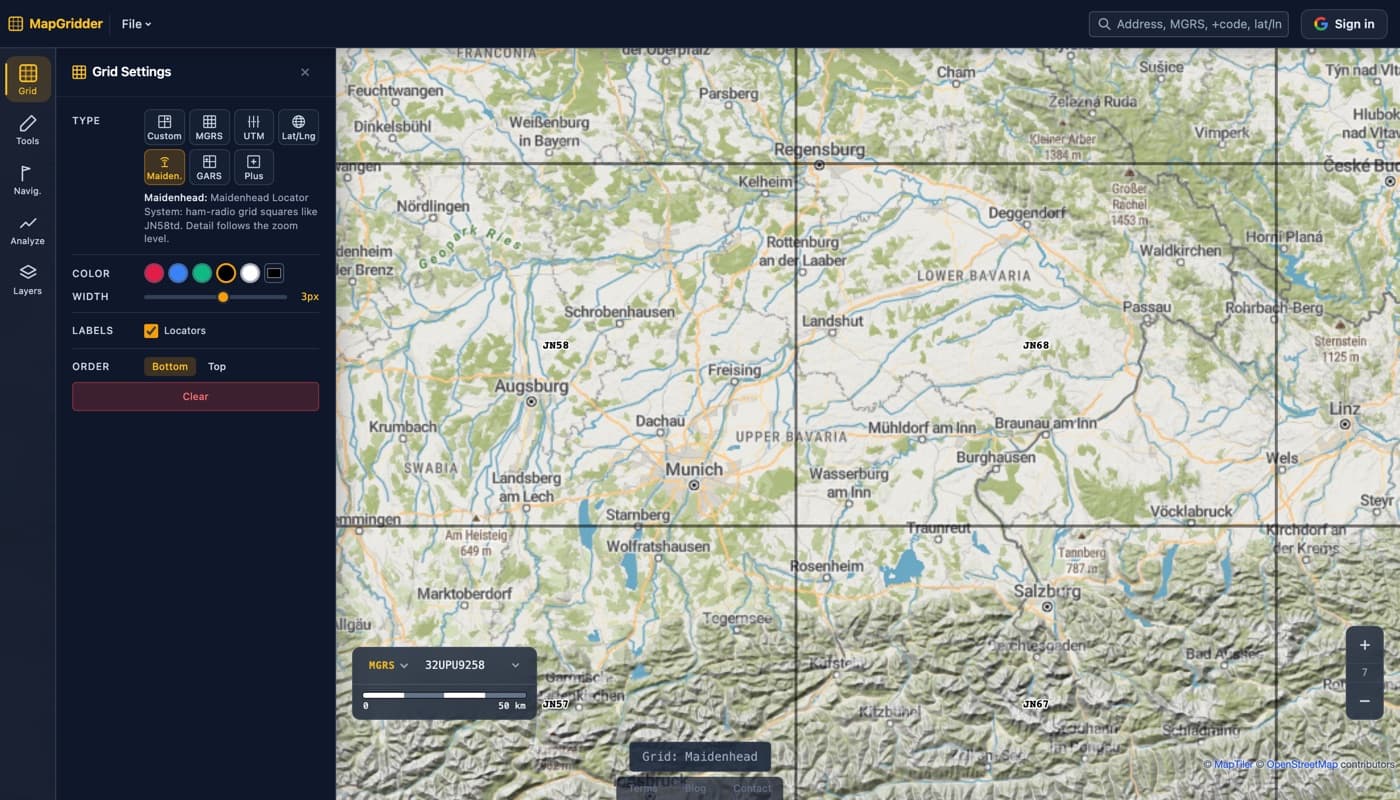
Already have coordinates? Turn latitude and longitude or a UTM reference into a locator with the Lat/Long and UTM to Maidenhead converter, or see how the other systems compare in UTM vs MGRS vs lat/long: the difference.